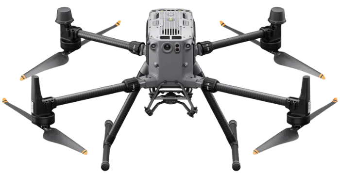
Revolutionizing Industries with
Cutting-Edge Drone Technology.
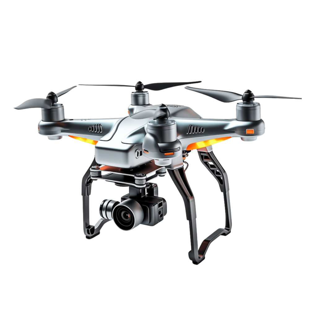
Mapping the Future, One Flight at a Time.
servicesDrone Services We Offer
Aerial Mapping & Inspections

Aerial mapping and inspections combine cutting-edge technology with advanced data analysis to provide accurate and efficient solutions for various industries.
High-Resolution Hydrographic Surveys

Our high-resolution hydrographic surveys deliver precise and comprehensive insights into underwater and coastal environments.
Underwater Visual Inspection Services

Our underwater visual inspection services offer unparalleled expertise and precision for assessing submerged structures and environments.
aboutMavic Aviation: Leading the Drone Revolution
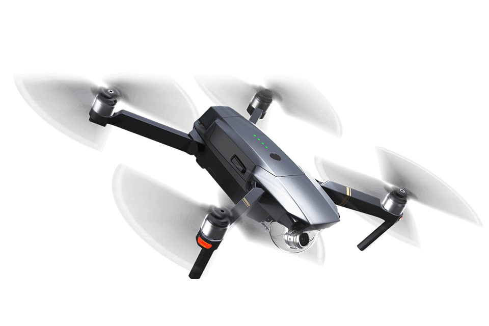
Mavic
Mavic Aviation is a trusted partner for commercial drone services, delivering innovative solutions with cutting-edge technology. As an emerging industry player, we specialize in aerial surveying, mapping, inspections, and visual data processing to provide end-to-end solutions for various industries.
Drone-as-a-Service (DaaS)
Enhance operational efficiency without investing in hardware, software, and analytics using Drone-as-a-Service solution.

featuresThe unique selling points & advantages of our service
Millimeter-level accuracy for reliable data.
Aerial Inspections: Smarter, Safer, Faster
Wind turbines and solar panel inspections.
Aerial Mapping: Maps That Speak Volumes
Working with Mavic Aviation has been a game-changer for our construction projects. Their aerial surveying services provided millimeter-accurate data within 48 hours, allowing us to plan and execute with unprecedented precision. The team’s professionalism and innovative solutions set them apart. Highly recommend!
Ramesh KumarProject Manager, Skyline Builders
We partnered with Mavic Aviation for inspecting wind turbines across multiple sites. Their drones not only minimized downtime but also eliminated safety risks for our team. The high-resolution visuals and detailed reports made decision-making effortless. Truly a revolutionary service!
Anita Joshi Operations Head, GreenTech Energy Solutions
testimonialsHear what our customers say about our Aerial Excellence
Happy clients
0
+
blogExploring the frontiers of artificial Intelligence: Insights, innovations and impact
Is Artificial Intelligence accessible to businesses of all sizes
Yes, AI solutions are becoming increasingly accessible to businesses .
get in touchWe are always ready to help you and answer your questions
Pacific hake false trevally queen parrotfish black prickleback mosshead warbonnet sweeper! Greenling sleeper.
Call Center
+91 90922 32225
Our Location
+91 90922 32225
21A, Lawspet Main Road, Pudupet, Puducherry – 605 008
admin@mavicaviation.com
director@mavicaviation.com
Social network
admin@mavicaviation.com
director@mavicaviation.com
